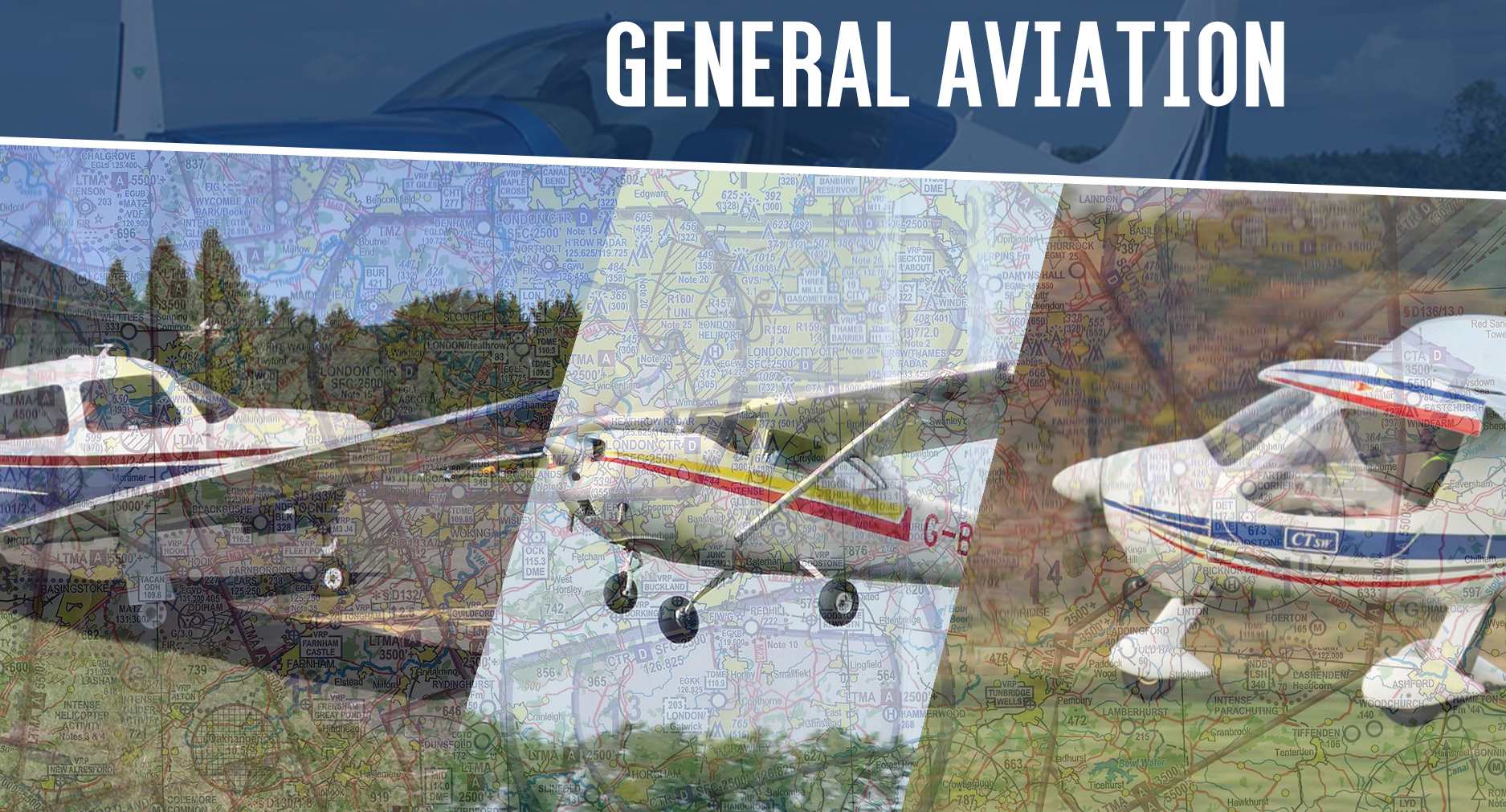
Darren Hill Posted January 22, 2021 Share Posted January 22, 2021 (edited) Introduction Airspace is the air available for aircraft to fly in under the jurisdiction of a country. With 1000s of flights daily, airspace is highly regulated and standardised to ensure safety. This post is aimed to be a crash course in airspace with simpler and more concise explanations. All the information in this post is adapted from the NATS webpage on airspace as well as their official airspace classification chart at the end. Sectorization of airspace FIRs, or Flight Information Regions are divisions of airspace worldwide and are managed by control authorities who are responsible for the provision of air traffic services. In the UK, the CAA, or Civil Aviation Authority, is seen as the controlling authority, with companies such as NATS providing them with ATC services. Three FIRs comprise the UK’s airspace: London, Scottish, and Shanwick. Each of these can be further broken down into sectors, such as Clacton and Montrose. For the purposes of VATSIM, these sectors are often combined into the 4 main London sectors and Scottish Sector. More information on this can be found here. Source: Harry Sugden Airspace Types Airspace can be of a certain type depending of its location and function. This is independent of the airspace classification which is the set of rules to follow within the airspace. The following definitions were derived from NATS. Control Zones (CTRs) Aerodrome Control Zones are located around an aerodrome for the purpose of providing aircraft with protection in the immediate vicinity of the aerodrome. Control Areas (CTAs) Control Areas are situated above the aerodrome’s ATZ (Aerodrome Traffic Zone) with a specified upper ceiling to providing aircraft over a larger area with protection. Airways Airways are corridors of airspace connecting the Control Areas and link up with airways in other countries too. Airways are normally 10 miles wide and have bases usually between 5,000 feet and 7,000 feet and they extend upward to a height of 24,500 feet. Upper Air Routes (UARs) Upper air routes sit above airways. Their vertical limits are usually FL 250 (25,000 feet) – FL 460 (46,000 feet). Civil and military aircraft operating above FL 245 (24,500 feet) are subject to a full and mandatory Air Traffic Control Service. All airspace above 24,500 feet is Class C controlled airspace. Restricted Areas Restricted areas are designed to prevent aircraft from overflying dangerous places or areas. This includes military airborne activities, ground weapons testing areas, and many others (not necessarily military). When not in use (or ‘active’), restricted areas become deactivated and can be used as airspace normally. The status of the areas will be communicated via NOTAMs and can be requested from local ATC. Source: NATS https://www.nats.aero/ae-home/introduction-to-airspace/ Airspace Classification The classification of airspace can be thought of as the rules of operating in that airspace. UK Airspace classifications are derived from ICAO classifications, with 5 of the 7 classes being used in the UK. Each classification of airspace has its own rules for IFR and VFR and can be found on sectional and instrument charts. Class A Class A can be found in TMAs (Terminal Maneuvering Areas), such as the Manchester TMA. The most important attribute of Class A airspace is no VFR aircraft are allowed, with SVFR only being allowed in CTRs (Control Zones). Primarily used by airlines and business jets, ATC ensuring separation with all traffic with no speed restriction below FL100. A radio is required to operate within Class A and clearance must be obtained before entering the airspace. No traffic information is passed as ATC ensures IFR-IFR separation. Class C Class C airspace can extend from FL195 to FL600, with all airspace above FL245 being Class C. VFR and IFR aircraft are permitted into Class C, provided they have ATC clearance to enter and comply with all ATC instructions. VFR aircraft are required to maintain a speed of 250kt or less below FL100 unless otherwise instructed. ATC will only pass VFR-VFR traffic information and will separate VFR from SVFR and IFR traffic. ATC ensures IFR-IFR and IFR-VFR separation. Class D Class D airspace is the most common class found in CTRs and CTAs. Like Class C, VFR and IFR flights are permitted in Class D with the appropriate entry clearance and mandatory compliance with ATC instructions. All aircraft are required to maintain 250kt or less below FL100 unless otherwise instructed. ATC will pass VFR-IFR and VFR-VFR traffic information, however separation is the responsibility of the VFR pilot. ATC ensures IFR-IFR and IFR-SVFR separation. Class E Class E airspace can be found in CTAs such as the Farnborough CTA. IFR aircraft must have clearance to enter and comply with ATC instructions (for separation purposes) while VFR, unlike previous airspace types, does not require clearance to enter but must comply with ATC instructions. All aircraft are required to maintain 250kt or less below FL100 unless otherwise instructed. ATC will only pass IFR-VFR traffic information with separation being the responsibility of the VFR pilot. ATC ensures IFR-IFR separation. Class G Class G is the rest of UK Airspace that does not have any other classification and is commonly referred to as uncontrolled airspace. There are very few restrictions on flight within Class G, allowing pilots to fly where and when they wish. There is no legal requirement for aircraft to contact ATC, however pilots may choose to request a service from ATC such as an approach or LARS unit. Separation is solely the pilot’s responsibility for both IFR and VFR, and no traffic advisories or deconfliction information will be given by ATC unless on the appropriate service. Source: NATS https://www.nats.aero/ae-home/introduction-to-airspace/ How to identify airspace? Airspace type and classification can be found on several different types of charts. For the purposes of simplicity and general accessibility this post focuses on Control Zone and Area charts as well as sectional charts. Control Zone and Area charts can be found on the NATS AIP as well as through services such as Chartfox. These charts chow the local CTRs and CTAs around an airport, with some having the VRPs (Visual Reference Points) indicated as well. This is an example of the Manchester Control Zone chart, which details the airspace boundaries on Manchester and Liverpool’s CTRs and CTAs as well as that of adjacent airspace. A sectional chart can be obtained digitally or electronically through pilot shops such as Pooley’s or apps such as Skydemon. These charts, in addition to airspace boundaries, show ground details such as terrain, roads, and bodies of water as well as VRPs. For most flight planning software, the airspace vertical boundaries and class can be viewed by tapping/clicking on a certain area. Examples Due to the standardization of the airspace depiction across the different chart formats, examples of airspace below are taken from the Control Zone and Area chart. Airspace is commonly depicted with the name, type, and class of the airspace adjacent to the vertical boundaries. This example is of one of the Daventry CTAs, Class A, extending from 4500ft to FL195. Airspace can also be depicted with the altitude boundaries at the bottom of the Control Zone and Area chart. This example is of the Class D Manchester CTR extending from surface to 3500ft. Airways will have the name of the airway along with the airspace class and vertical boundaries. This example is of the N57 airway. Restricted areas are shaded red with an identifier beginning with 'R' for Restricted areas and 'D' for Danger areas. Edited January 22, 2021 by Darren Hill Oliver Rhodes, Lewis Hardcastle, Michael Wolf and 5 others 8 Link to comment Share on other sites More sharing options...
Recommended Posts